

Precision Farming Software Tailored to Your Needs

AGRONmaps PRO
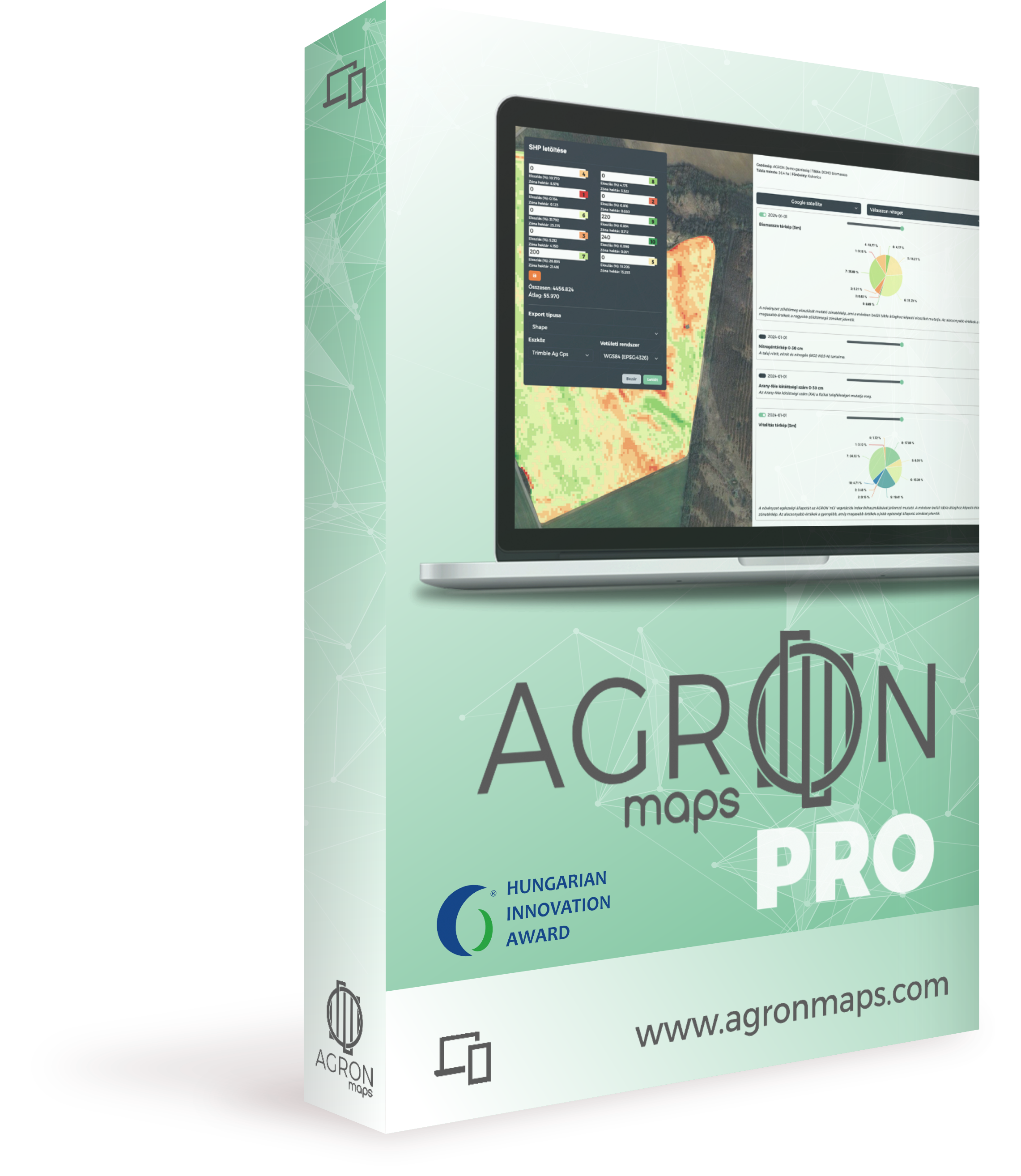
Winner of the 2024 Agricultural Innovation Award
AGRONmaps Pro offers a comprehensive and precise solution for all geoinformatics tasks supporting agricultural production. It provides not only a customizable and versatile hybrid software but also an entire agri-geoinformatics team that continuously supports your decisions.
Please indicate your registration request by filling out the form!
Registration


AGRONmaps blends cutting-edge software with expert knowledge to empower progressive farmers in overcoming obstacles effortlessly.
Benefits
Online Operation: Requires only a simple office PC or laptop with a stable internet connection—nothing more.
Expert Support: By choosing AGRONmaps, you gain access to geoinformatics experts who assist you alongside the software.
Hybrid Software: We provide the necessary resources and work hours to achieve results, unlike other software solutions.
Assistance When Needed: English-language support is available, as you’ve come to expect from us.
Seamless Transition: Switch to AGRONmaps, and we’ll import your existing software data free of charge.
Key Features
-

Modern Field Management
Accurate and up-to-date digital maps of your farm, managing field boundaries transparently and serving as a central repository for important information.
-

Work Organizer for Field Workers on Mobile Devices
Simplifies and streamlines fieldwork management on mobile devices with an easy-to-use, English-language interface, significantly enhancing efficiency.
-

Satellite or Drone Maps Made Easy
Acquiring and processing maps has never been easier—the software handles the necessary steps independently
-

Machine-Specific Application Maps
Export application maps with a single click based on analysis results, ensuring accuracy and compatibility with your farm’s machinery.
-

Field Soil and Leaf Test Results
Modern decision support is effective only with field measurements! Accordingly, soil test and leaf sampling results can also be recorded in the system.
-

Application: Maps That Come to Life
Once field samples are completed, measurable parameters above and below ground appear on visually engaging, easily interpretable digital maps, revealing crucial correlations.
-
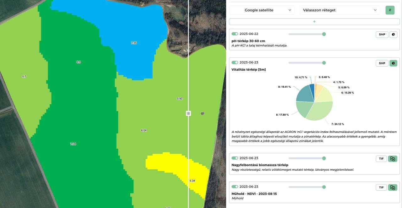
Innovative Layer Panel – Everything in One Place
AGRONmaps’ layer panel allows you to display multiple pieces of information simultaneously without other software. This tool was previously exclusive to complex systems requiring significant expertise.
-

Comprehensive Compatibility
Handles Shape, KML, Tiff files; downloads machine-optimized files; imports, exports, edits, and manages vector files. Compatible with file extensions used by other programs.
Who Is AGRONmaps Pro For?
Producers and Farmers
For those who have embarked on the path of digitalization and precision farming or wish to take this step with our assistance. We don’t make decisions for you: none of AGRONmaps’ services interfere with farming decisions—they simply provide transparent information and expert support to help you make the best choices.
Drone Pilots
AGRONmaps is the perfect companion for those who:
✅ Want to support their fieldwork with professional software.
✅ Aim to process image packages from drone footage accurately and efficiently.
✅ Seek visually appealing and interpretable map displays.
Consultants and Agronomists
AGRONmaps offers the opportunity to:
✅ Manage clients, field structures, and geoinformatics data on a single platform.
✅ Access transparent and up-to-date data.
✅ Maintain easy communication with farmers.
✅ Expand service offerings with professional services.
Machinery and Input Material Sellers
AGRONmaps’ white-label solution allows you to offer the software under your own brand.
For those who:
✅ Wish to enhance their current product portfolio with associated services.
✅ Seek software accessible under their own domain name and logo.
✅ Aim to provide long-term, value-added services to their partners.