

Geoinformatics and Remote Sensing Solutions
for Agriculture
Since 2016


AGRONmaps PRO - Winner of the 2024 Agricultural Innovation Award


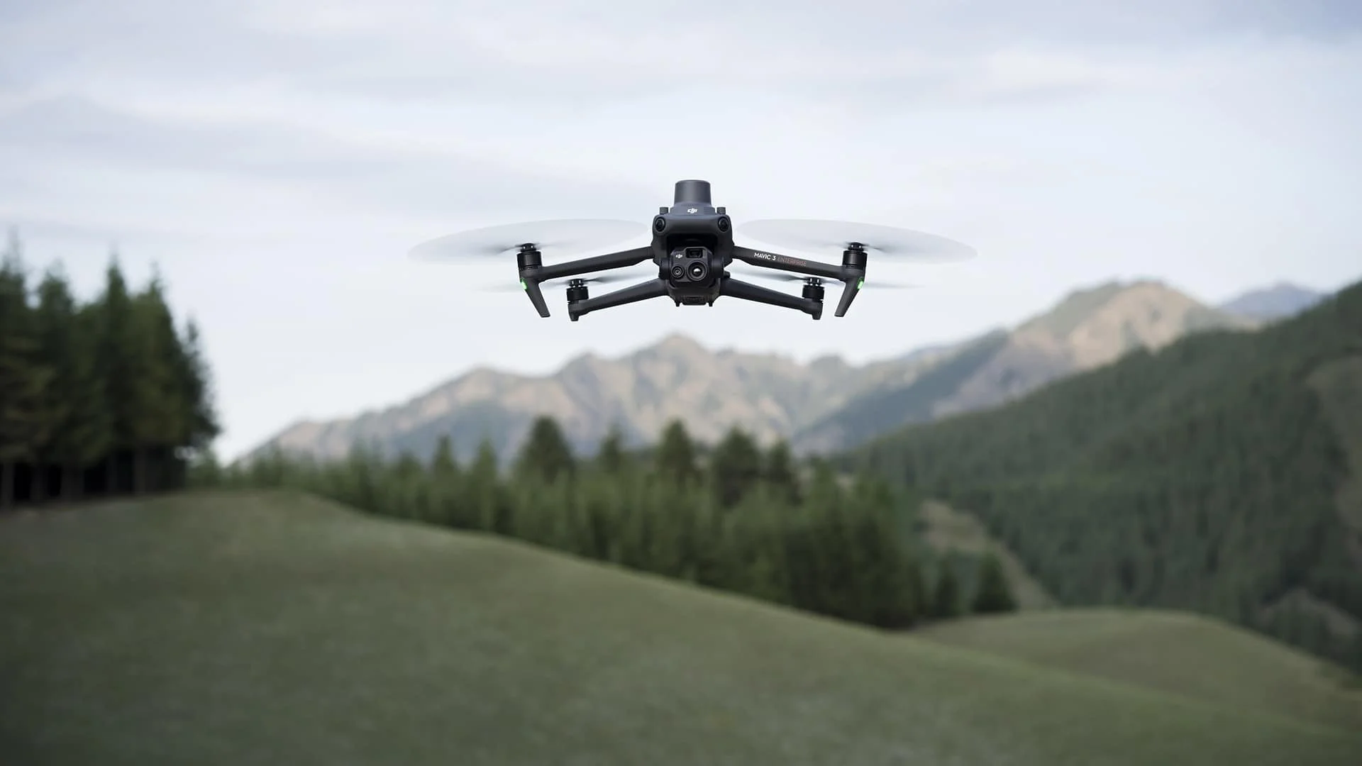
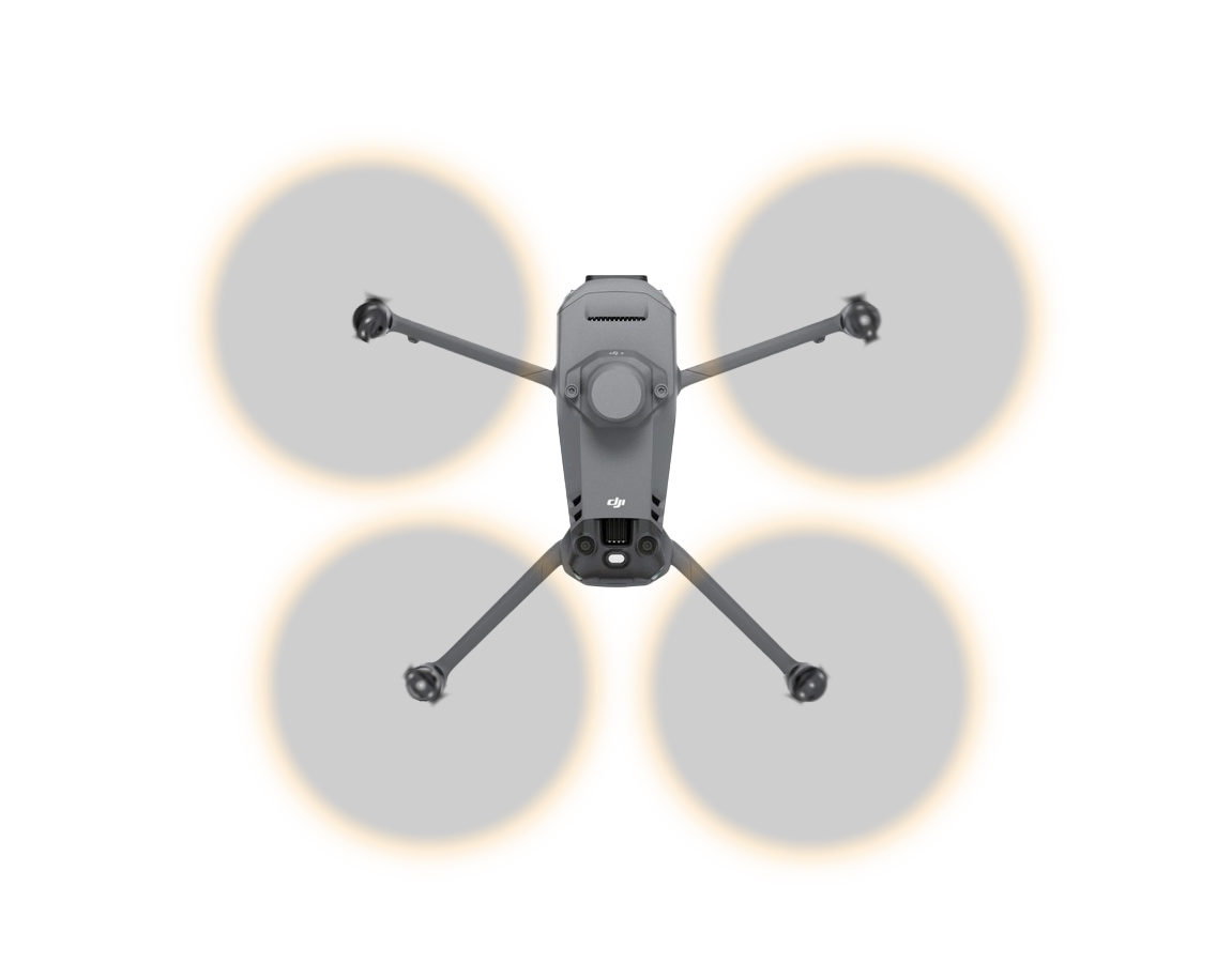
Satellite and Drone Remote Sensing
Obtain satellite and drone remote sensing data to support precision farming with AGRONmaps, our domestically developed software.


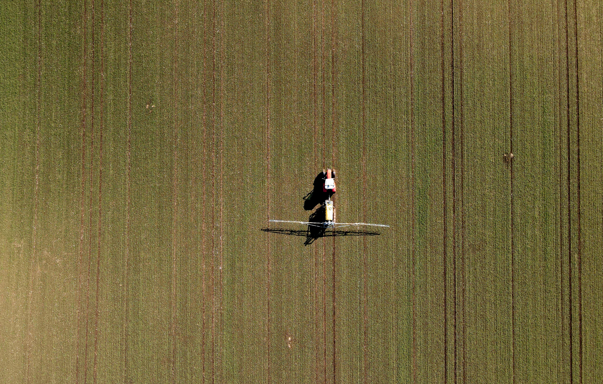
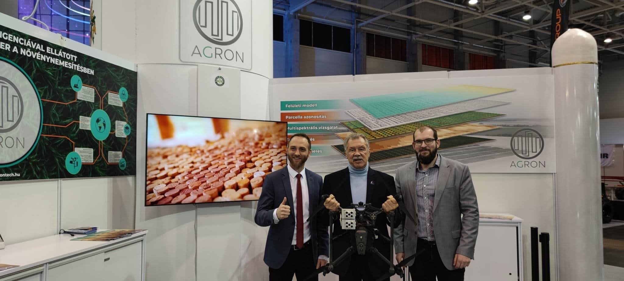
Agricultural Geoinformatics Services
We assist farmers nationwide in addressing unique challenges and long-term tasks with our geoinformatics services.

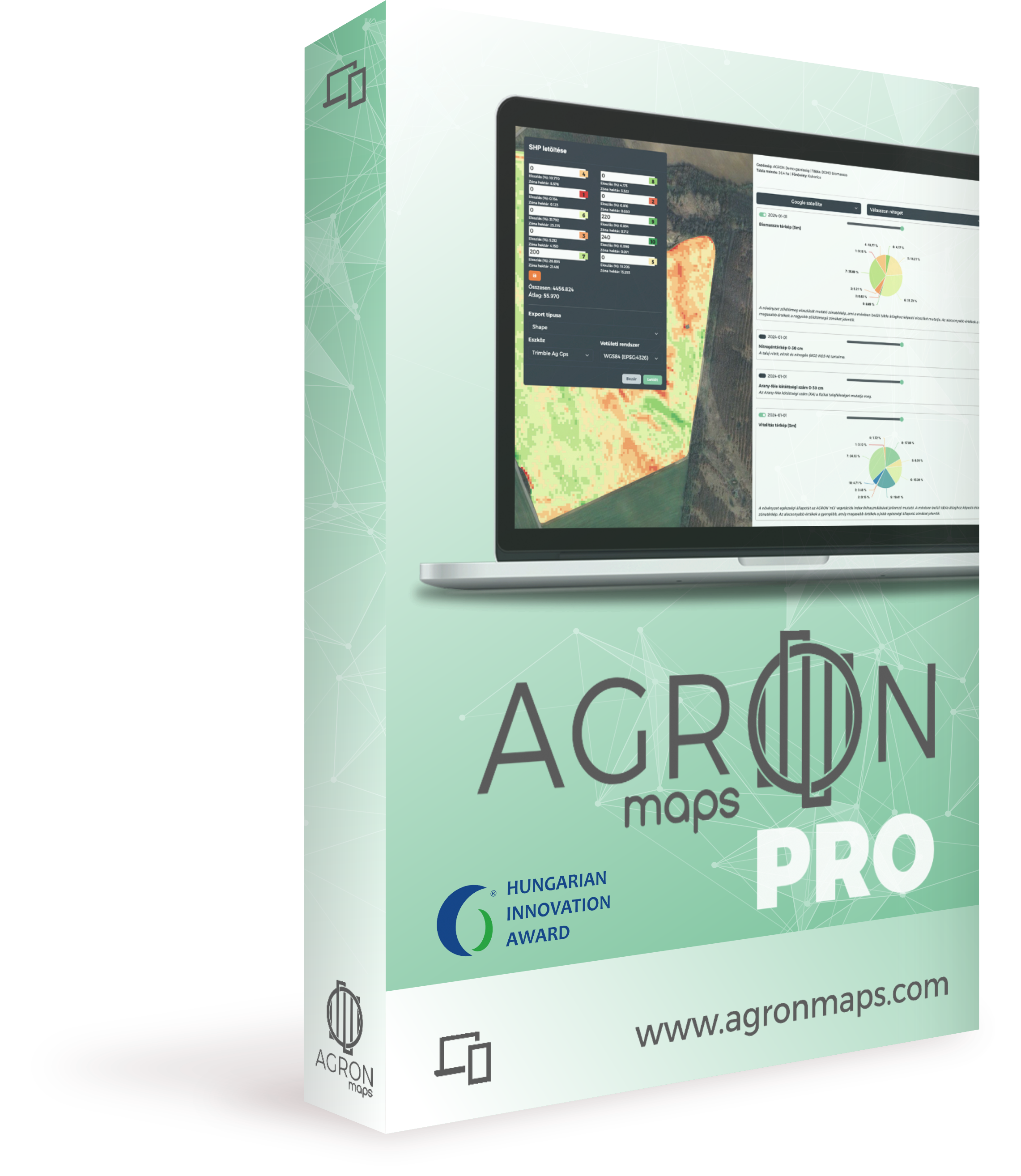
Precision Farming Software
AGRONmaps Pro is a unique precision farming software providing a common platform for producers, consultants, salespeople, and drone pilots.


Trainings
Learn everything about precision farming, including drone surveys, software usage, and geoinformatics fundamentals.

Drone Packages
The name AGRON has been synonymous with agricultural drone technology since 2016. Purchase from us and enjoy premium support and comprehensive solutions!


Seasonal Offers
What, when, and why? We’ve compiled our analyses and service recommendations in a suggested seasonal order for efficient farming.
Awards and Recognitions

-
Awarded by the Hungarian Innovation Association for the innovative role of AGRONmaps Pro in precision agriculture
-
Co-developer of the monitoring drone curriculum
-
Most Innovative Team, 2021
-
Product Development Award 2022
-
Member since 2021
-
Founding member
-
Professional leader of the agricultural division
Contact
Do you have questions and prefer written communication? Or would you like to have a longer personal consultation?
Contact us or request a free consultation appointment!
Clients are welcome at our office by prior appointment only.
Office: Resonator Office Building, Office 219
AGRON Analytics Ltd.
Budaörs, Gyár street 2
